Introduction
When concerns arise around a roof, the natural impulse is to look for answers quickly. Is something wrong? Has anything changed? Does the surface still look the way it should? Before any of these questions can be addressed in a meaningful way, there is one fundamental requirement: a clear visual understanding of the roof itself.
In practice, many roof-related decisions are slowed down not by a lack of expertise, but by a lack of visibility. Without seeing the roof clearly and completely, even experienced professionals are forced to work with assumptions, partial information, or outdated references. This is why, in modern workflows, roof-related assessments increasingly begin with visual documentation rather than immediate physical access.
The Challenge of Seeing a Roof From the Ground
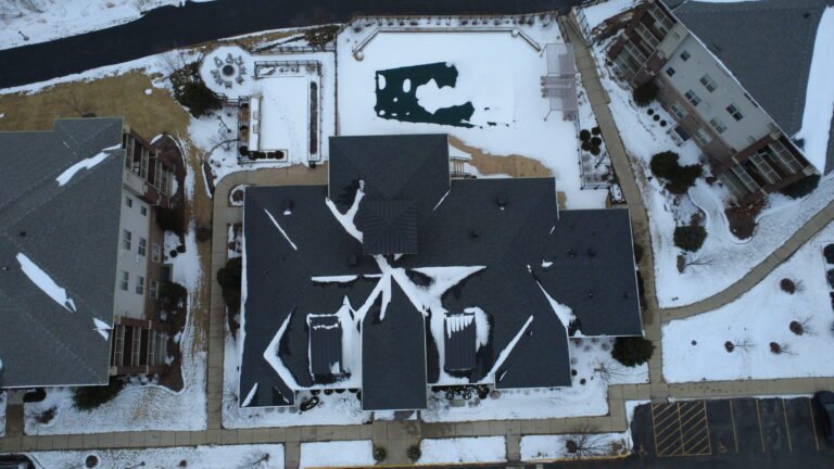
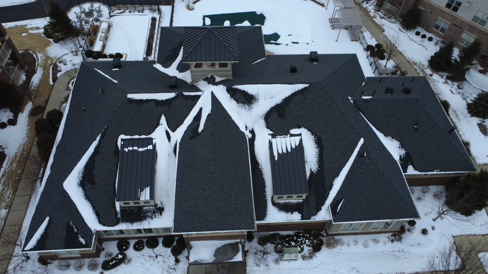
Roofs are designed to be out of sight. From the ground, only fragments are visible, and even those are often distorted by distance and angle. For larger commercial or industrial buildings, the situation is even more complex. The roof may span thousands of square meters, include multiple elevations, and host a variety of equipment.
Ground-level photos rarely provide a coherent picture. They capture moments, not systems. Important relationships between roof sections, drainage paths, and surface transitions are easy to miss when the view is limited to what can be reached safely on foot or by ladder.
Why Visual Documentation Comes First
Visual documentation serves as a neutral starting point. It does not attempt to interpret or diagnose. Instead, it answers a more basic question: What does the roof look like right now?
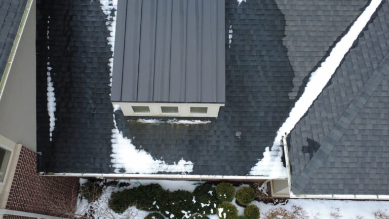
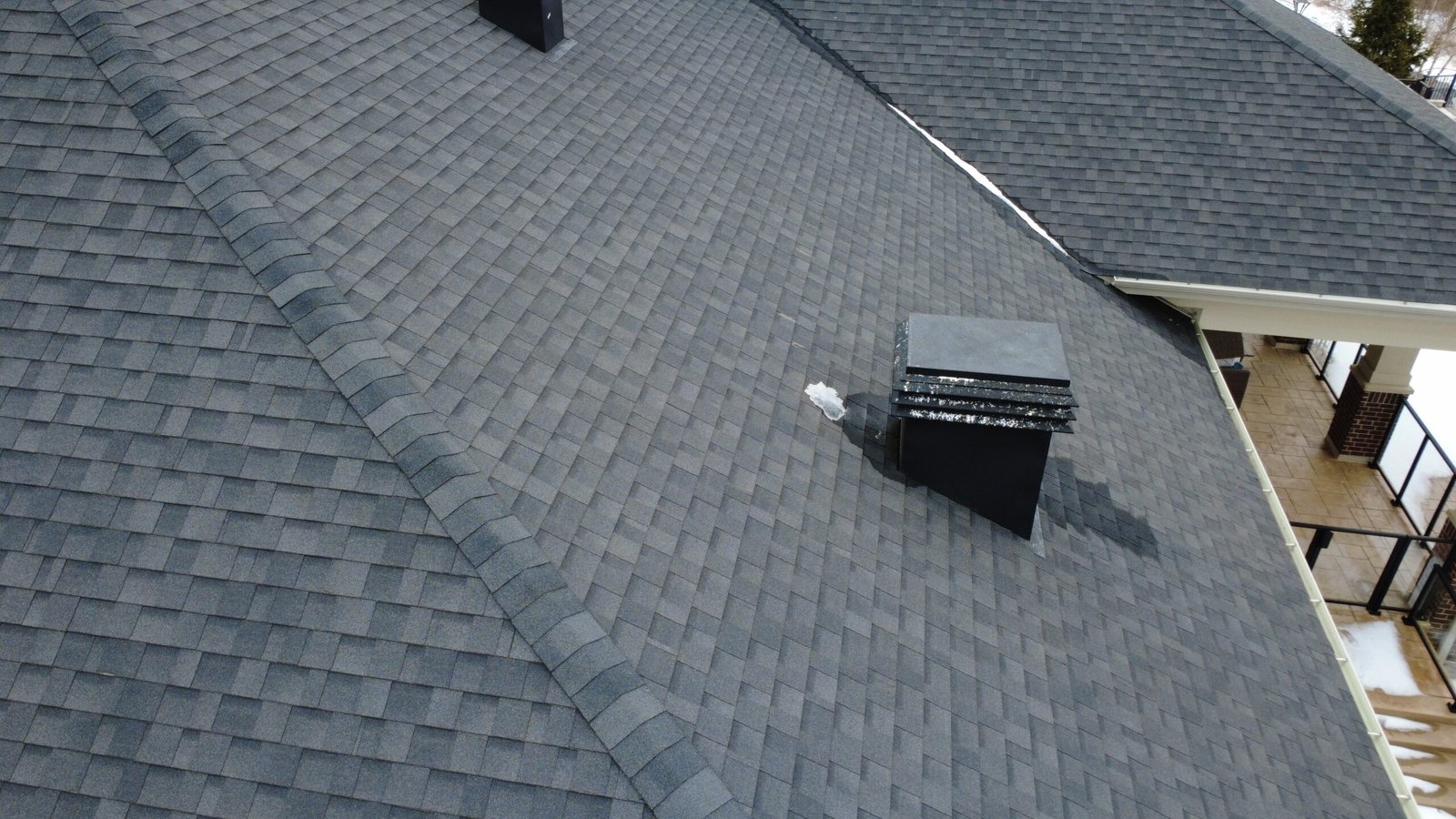
Aerial imagery makes it possible to document the entire roof surface in a structured and consistent way. From above, the roof can be seen as a single system rather than a series of disconnected areas. This broader view allows professionals to orient themselves quickly and understand where attention may be needed.
Starting with visuals also ensures that everyone involved is working from the same reference. Property managers, consultants, and licensed specialists can all review the same imagery and discuss next steps based on shared information rather than individual impressions.
What Aerial Roof Documentation Actually Provides
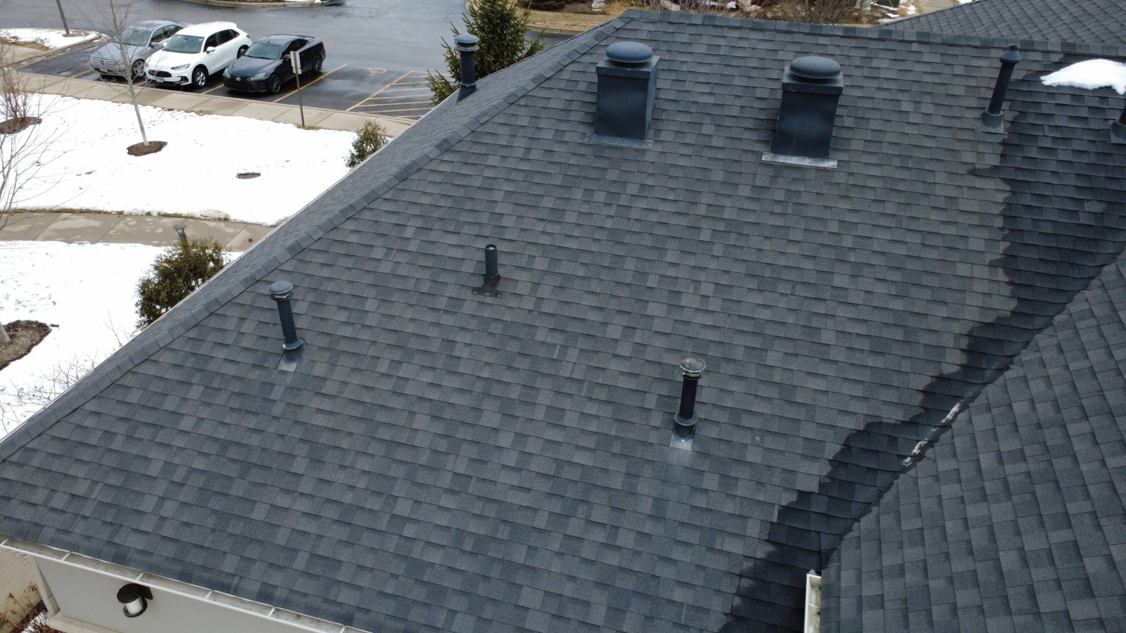
Modern aerial photography delivers high-resolution imagery that captures surface-level conditions with impressive clarity. Roofing materials, seams, transitions, and visible wear patterns can be reviewed in detail. Drainage paths and areas where water may accumulate become easier to identify when seen from above.
Just as importantly, aerial imagery shows how these elements relate to one another. Instead of evaluating isolated details, professionals can understand the roof’s overall behavior and structure. This context is often what allows them to prioritize actions and plan follow-up work effectively.
Understanding What Visual Documentation Does Not Do
It is essential to be clear about limitations. Visual documentation does not reveal what lies beneath the roof surface. Internal moisture, insulation performance, and structural integrity cannot be confirmed visually alone. These aspects still require physical access and specialized tools.
However, knowing what cannot be seen is just as valuable as knowing what can. Clear visuals help professionals decide where deeper investigation is necessary, reducing unnecessary access and focusing effort where it truly matters.
Safety and Practical Considerations
Accessing a roof involves inherent risk. Even routine site visits require careful planning, safety equipment, and coordination. For occupied buildings or sensitive facilities, this can also mean operational disruption.
Aerial documentation reduces the need for exploratory access. In many cases, teams can gather the information they need to plan next steps without anyone stepping onto the roof. When physical access is required, it becomes more targeted and intentional, improving both safety and efficiency.
Who Relies on Visual Roof Documentation
Property managers often use aerial imagery to maintain clear records of roof conditions over time. The ability to document changes visually helps with planning, budgeting, and communication with vendors.
Licensed professionals frequently review aerial visuals before site visits, allowing them to focus on specific areas rather than spending time on general orientation. Facility managers benefit from having a consistent visual reference that supports long-term asset management.
In all cases, the imagery acts as a shared foundation for discussion and decision-making.
When This Approach Makes the Most Sense
Visual-first workflows are particularly effective for large roofs, complex layouts, and properties where access is difficult or disruptive. They are also valuable when documentation needs to be repeated regularly or shared across multiple teams.
In these situations, starting with aerial visuals is not a shortcut — it is a practical way to reduce uncertainty and improve outcomes.
Seeing Before Deciding
Roof-related decisions should never be based on assumptions alone. By beginning with clear, comprehensive visual documentation, professionals ensure that their expertise is applied with full awareness of current conditions.
Aerial roof imagery does not replace professional judgment. It supports it by providing clarity, context, and confidence. For many organizations, this visual-first approach has become the most effective way to begin roof-related workflows — not by guessing, but by seeing.
Disclaimer
We provide aerial visual documentation only.
We do not perform inspections, evaluations, or certifications.
All professional assessments and conclusions are made by licensed specialists using the documented imagery.